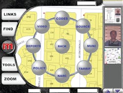
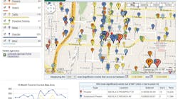
MapPatrol is GIS/GPS/AVL based in-vehicle mapping software by Mapping Solutions, Inc. MapPatrol's straight-forward interface makes it quick and easy to navigate the system and seamlessly launch other software applications. Simply open your local city or county GIS maps with MapPatrol. Link photos, video, floor plans, aerial photos, documents, web sites, and more to any address or location. We can help you interface with your local dispatch or 911 Center for automatic address locating. You don't even have to touch the computer to display a location! MapPatrol is specially designed to take advantage of the touch-screen computer environment. No keyboard required! We also provide complete turn-key systems, providing all hardware, software, ruggedized laptops, GPS units including installation and on-site training.
Request More Information
Request More Information
Related Content
Related Content


