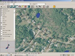
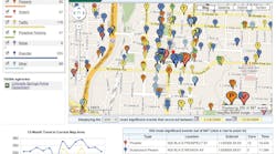
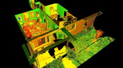
InterAct's GIS application was developed to meet the particular needs of the public safety industry. The GIS application works seamlessly with E-911 and CAD applications, and gives users the ability to quickly and easily view location information, structure photographs, active incidents and other critical information. Supporting all ESRI formats, the GIS system uses maps prepared in AutoCAD, MapInfo, Atlas or Microstation. It can also convert client maps for use in the GIS program. The GIS window provides a large viewable map area that contains detailed mapping data as well as an inset pane for a wide-area view. If interfacing with InterAct CAD or another application, a separate monitor specifically for the GIS module will increase split-second viewing of information for the user.
Request More Information
Request More Information
Related Content
Related Content


